DE
FR
IT
EN
Directory
Weather
Map / Route
Timetable
Leisure
TV guide
Cinema
Web search
Apps
More
Personal Data »
Login:
Register
Password forgotten
or
Log in with local.ch
Log in with Apple
Log in with Facebook
Log in with Google
Log in with LinkedIn
Please note that our new
privacy statement
as well as the revised
terms and conditions of use
apply.
Leisure
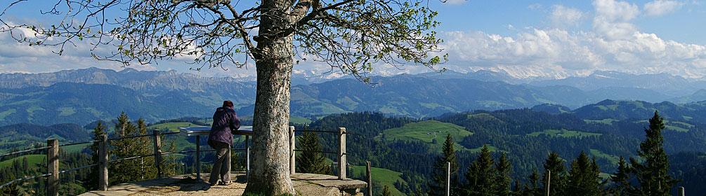
Hike in Emmental
Grenzpfad Napfbergland
Regional route No. 65, Langenthal–Brünigpass
Description
Regional route
No. 65 (Langenthal–Brünigpass)
Length
115 km
Ascent • Descent
↑ 5900 m • ↓ 5400 m
Lowest point • Highest point
440 m • 2328 m
Grade
medium (mountain hiking trail)
Fitness level
difficult
Long-distance hike along the Bern-Luzern border, in six stages through Emmental and Entlebuch, up the Brienzer Rothorn and on to the Brünigpass. En route: many activities and information on history, culture and landscape of the border region.
Comments on this information?
We welcome your feedback!
Presented by
Route
Height profile
Weather:
More...
Comments about this activity or place?
Incorrect information
Missing information
Another topic
Thank you for your feedback!
Close