DE
FR
IT
EN
Directory
Weather
Map / Route
Timetable
Leisure
TV guide
Cinema
Web search
Apps
More
Personal Data »
Login:
Register
Password forgotten
or
Log in with local.ch
Log in with Apple
Log in with Facebook
Log in with Google
Log in with LinkedIn
Please note that our new
privacy statement
as well as the revised
terms and conditions of use
apply.
Leisure
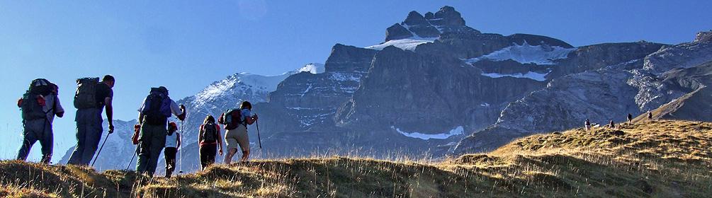
Hike in Glarnerland
Via Alpina
National route No. 1, Elm–Linthal
Description
National route
No. 1 (Elm–Linthal)
Length
25 km
Ascent • Descent
↑ 1650 m • ↓ 1950 m
Lowest point • Highest point
647 m • 2261 m
Hiking time
9 h 10 min
Grade
medium (mountain hiking trail)
Fitness level
difficult
Elm lies in the GeoPark where the Glarner main thrust fault clearly reveals the creation of the Alps. Surrounded by rock bastions, the silted-up Wichlensee lake, resembles an amphitheatre. After the steep Richetlipass, the lonely Durnachtal awaits.
Comments on this information?
We welcome your feedback!
Presented by
Route
Height profile
Weather:
More...
Comments about this activity or place?
Incorrect information
Missing information
Another topic
Thank you for your feedback!
Close